


 1
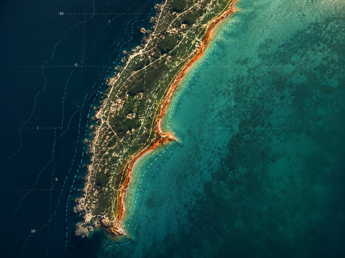
Monitoring coastal evolution
Extraction and analysis of shorelines, observation of erosion dynamics.
Learn more →
Monitoring & modelling coastal heritage at risk
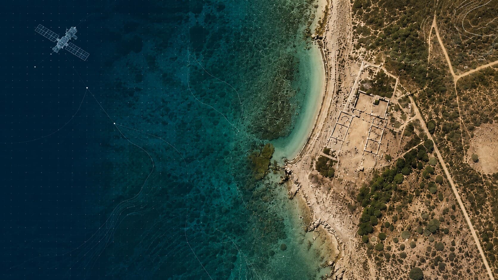
SEMSPAT develops scientific approaches to understand, monitor and document the transformations affecting archaeological sites, particularly in coastal areas exposed to climate change.
Archaeological sites today face rapid dynamics of transformation.
Analysing the effects of coastal transformation on archaeological sites.
Measuring shoreline evolution through spatial imagery.
Documenting and preserving sites exposed to risk.
1Extraction and analysis of shorelines, observation of erosion dynamics.
Learn more →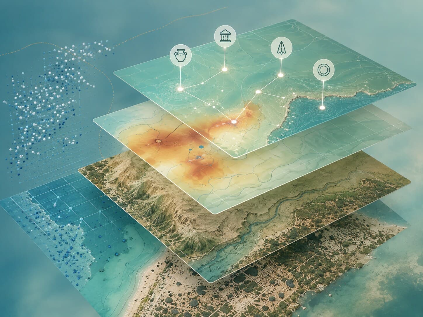 2
Production of surface and terrain models to document forms and their transformations.
Learn more →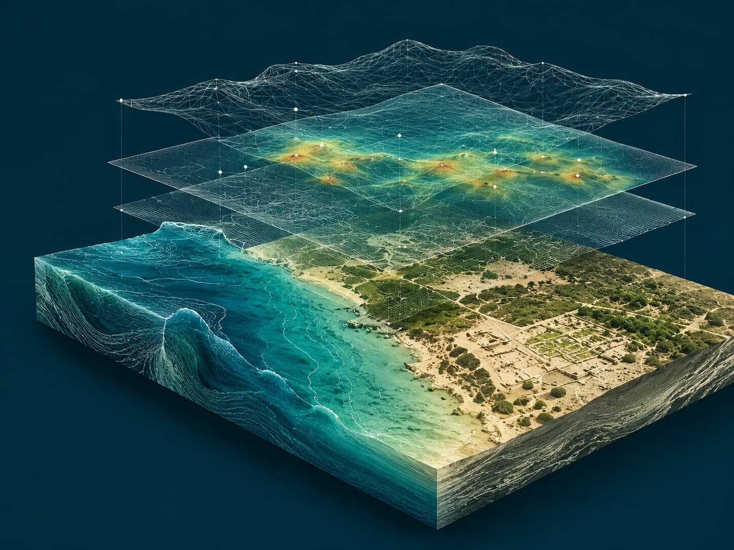 3
Integration into a GIS alongside historical and environmental data.
Learn more →SEMSPAT monitors several study areas in France and across the Mediterranean — notably in France, Tunisia and Libya — to analyse coastal evolution and its archaeological sites.
See all →A complete processing chain, from data acquisition to delivery of results.




Revue Française de Photogrammétrie et de Télédétection (RFPT), numéro spécial. Résumés de 250 mots avant le 15 octobre 2026, soumission souhaitée le 10 décembre 2026. Contact : rabia-sarah.cheriguene@univ-amu.fr
Download PDFSchörle, K., Diatta, L.S., Drine, A., Seinturier, J., François, P., Bettaieb, S., Lapierre, L. · 3) SCHÖRLE, K., DIATTA, L. S., DRINE, A., SEINTURIER, J., FRANÇOIS, P., BETTAIEB, S., LAPIERRE, L. (2026) Suivi de l’évolution des risques sur le patrimoine archéologique côtier : le cas de l’archipel de Kerkennah, Tunisie. Bull. Mus. Anthropol. Préhis. Monaco, n° 65,
Download PDF



Defense on Wednesday 4 November 2026 at 2 p.m. at the École des Mines de Paris (room L109, 60 boulevard Saint-Michel). Thesis on the chemo-mechanical behaviour of Roman hydraulic cements, RoC (Roman Concrete) project.
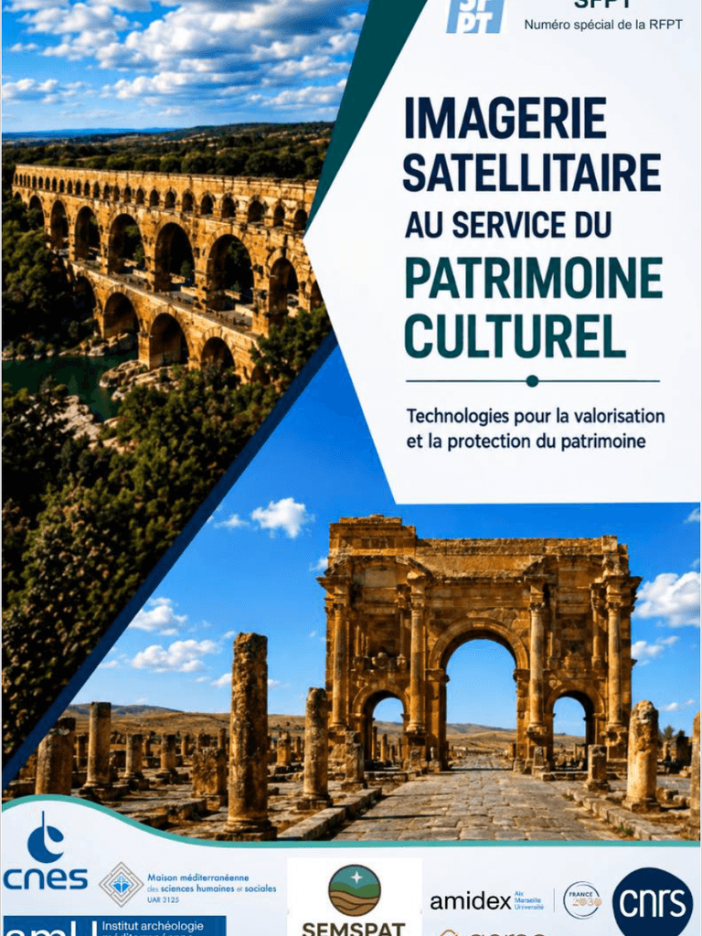
📢 Imagerie spatiale et patrimoine culturel | Appel à publication dans le numéro spécial SFPT Nous sommes heureux d’annoncer le lancement du projet éditorial issu de la conférence « L’Imagerie Spatiale au Service du Patrimoine Culturel », organisée au CNES les 2 et 3 novembre 2023, dans le cadre du projet CNES APR TOSCA SEMSPAT, en partenariat avec la Société Française de Photogrammétrie et Télédétection (SFPT). Cette nouvelle étape marque l’ouverture de l’appel à contributions pour un volume spécial consacré aux apports de l’imagerie spatiale et de la télédétection à l’étude et à la préservation du patrimoine culturel. Avec Luc Lapierre , nous avons également le plaisir d’accueillir Sarah Cheriguene en tant que co-éditrice. Elle assurera désormais la coordination des contributions et sera votre principale interlocutrice pour toute question relative à la publication. 📅 Date limite prévisionnelle de soumission : 10 décembre 2026 📚 Publication prévue : 2027 📩 Contact : rabia-sarah.cheriguene@univ-amu.fr Les contributrices et contributeurs de la conférence de 2023 sont invités en priorité à participer à ce projet. De nouvelles contributions (anglais et français) sont également les bienvenues afin d’enrichir les perspectives de ce volume. Nous serions ravis de poursuivre cette dynamique avec vous et de voir aboutir ce projet éditorial consacré aux liens entre technologies spatiales, télédétection et patrimoine culturel. N’hésitez pas à partager cet appel avec les collègues susceptibles d’être intéressés !


